We are absolutely delighted to announce that we have been given some funding from the Torbay Small Grants Lottery Fund to allow us to start work on our planned Chelston Heritage Map!

There have been people living in Chelston for a very long time – stone axes, flint scrapers and spear heads have all been found in the area which suggests may have been people passing through here up to six thousand years ago. In the Medieval period it was part of the manor of Cockington and the name Chilestone first appeared in the 13th century. The Cary family owned Chelston up until 1654, when it passed to the Mallocks. Amazingly, the Chelston Manor Hotel was originally a dower house for Cockington manor and it may even have been lived in by some of the Carys. Nearby Chelston Cottage is also very old and parts of it date from the 16th century.
Chelston, though, broadly remained a quiet, rural area. It was in the Victorian period, mainly in a burst of activity around 1880-1900, that most of the Chelston we know was built. Some large villas had already been built and all the things a young community needs were added – houses, churches, schools, shops, hotels, parks. The grandest of these landmarks are now listed buildings and the parks have avoided development. Chelston remains a green, friendly and pleasant place to live today.
Our heritage map will celebrate this by picking out some of the key locations from Chelston’s history and joining them together into a walking route. This will be hand-drawn by the Taleblazers team in a heritage style and will have details about each landmark on the reverse. We will then distribute our map free of charge to local schools, shops, pubs and cafes for residents to take themselves on a historic walk of the area in their own time. We hope to have a launch event on Trails Day, Saturday 5th June, when we will be offering guided walks and we will also reach out to local residents who may need support in getting around the route. We hope the walking route will encourage people to get outside and reconnect with one another post-covid, increase a positive connection between residents and their urban landscape and provide opportunities to reduce isolation and improve mental health.
We are broadly basing the geographical area of Chelston on the Torbay Council Ward Map of Cockington and Chelston, taking Chelston’s western boundary as the ridge following Seaway Lane and its continuation. To the east our map will go as far as the physical boundary of Avenue Road. To the north we will, for practical reasons, not go further north than the Haywain pub. Locations we have already identified are:
- Chelston Manor and Chelston Cottage
- St Matthews and St Cuthbert Mayne Churches
- Chelston Cross
- Chelston Drinking Fountain
- Torquay Railway Station
- Cockington Primary School
- Grand Hotel
- Location of the Old Mill
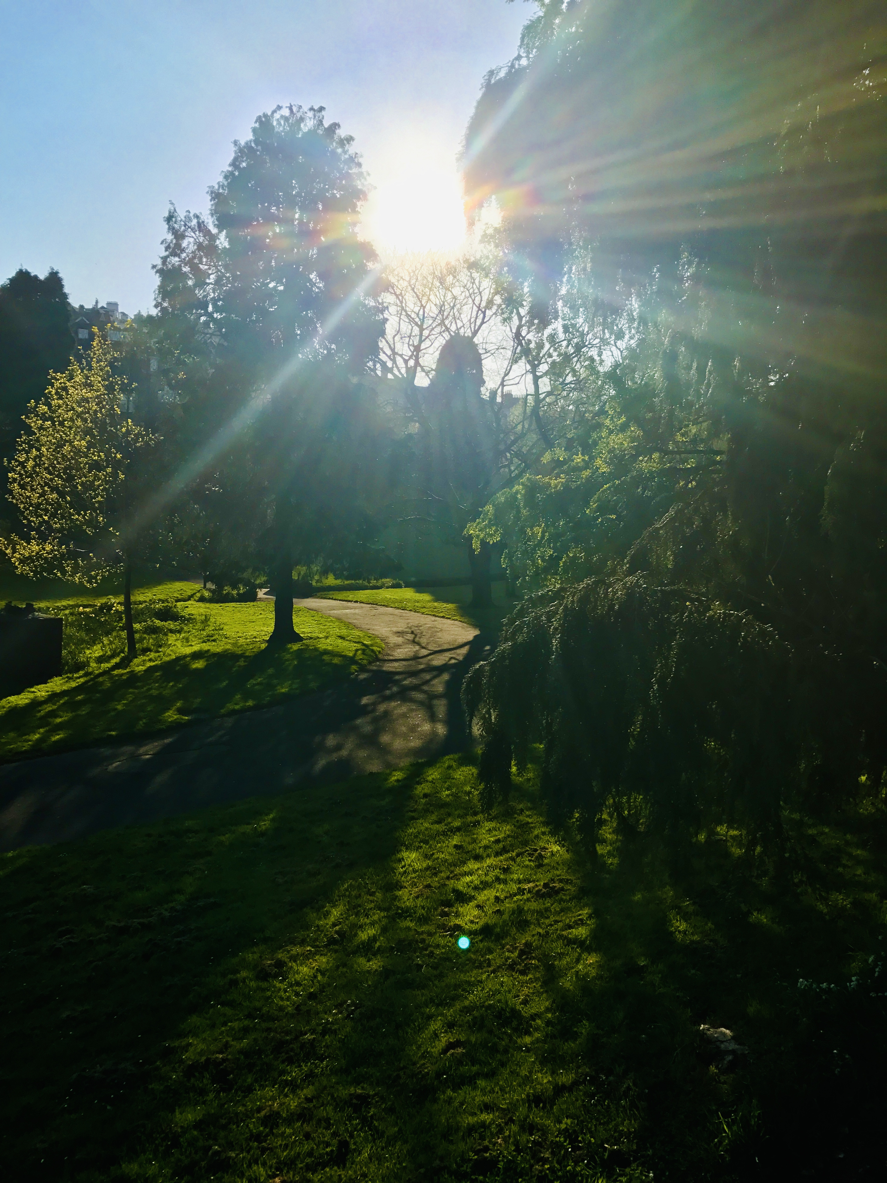
- Pretty Park
- Rosery Road houses
We don’t want to miss anywhere, so if there is anywhere that you think we should include please let us know!
Though this is a non-commercial activity, we are still looking for support from local businesses to help with production and printing costs and to support the outreach elements of the project. If you think you might be able to help, please get in touch!