Last week, I attended a really good Mountain Training seminar with Sarah from the National Plant Monitoring Scheme (NPMS). The NPMS is a national volunteer plant monitoring scheme designed and developed by four partner organisations: Plantlife, BSSI, UKCEH and JNCC. It is a habitat-based scientific survey that collects data about plant populations all over the country and relies on volunteers to go out twice a year to collect data. A randomised set of 1km squares of land are assigned to volunteers who go out twice a year and report back on what they find. It is the best wild plant database we have and it is something that we are very keen to contribute to.
So we signed up, chose a square and were sent through a whole load of information: wildflower ID guides, species lists and guidance about what to do and how. We have chosen square SX6061, which is on the edge of Dartmoor a few kilometres north of Cornwood.


Our plot is divided into 25 plots as above, and our first task was to identify which plots would be most representative of the habitats in the square. At least three of our five plots should be plots from the grid above, and we could also do two plots along linear features and/or a wet area if there is one in our square. Ideally we should try to include one of each habitat type, too. So this morning we visited the site to have a good look around and decide on a surveying plan.
We quickly ruled out all of the southernmost plots marked as ‘other habitat’, as these were all on farmland, in fields used for livestock. It also became apparent that the wooded areas, though photogenic, were not suitable either. They were surrounded by a high wall topped with a fence, and even had access looked likely it appeared that inside was overgrown and recently replanted. So it looked like we were focussing on the lowland grassland and heath!


The OS map marked a watercourse passing through plot 19 that looked like a good target for a linear plot, so we decided to check out that area first. However, the watercourse was dry. This is not uncommon on OS maps, especially if the watercourse is seasonal. However, it was drier than expected, and the reason became apparent as we followed it up the hill. Some time ago, a bank had been built across the top to divert the water to the south-west via a rough leat and we arrived at the top to find quite a nice ‘flush’ where water comes to the surface to form a wet area. This was a really good find so became our first plot, and we decided that further down the leat we would plan our linear plot.

Now it was just a case of walking the rest of the site and deciding which three plots would be most representative. The eastern side is more grassy and the more you go to the north and west the rockier and more heathy it gets. We haven’t decided for definite yet, but we will probably do plot 24 to capture the grassland and 16 for the heath. We didn’t visit the locality of plot 6 but the satellite imagery seems to suggest that it is in an area that is being colonised by trees, so this will most likely be the third.


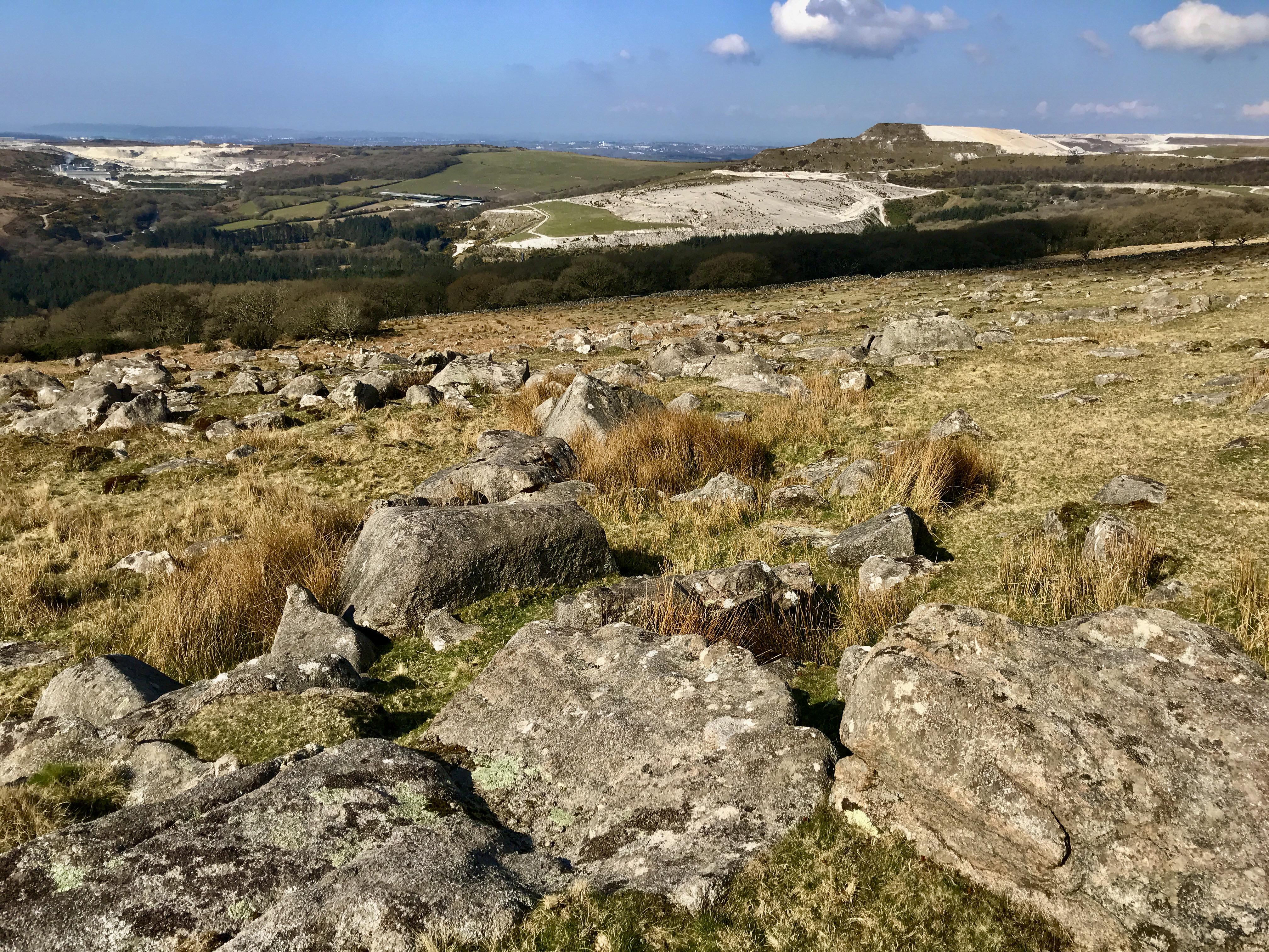
With our plans in the bag, we headed for the top of nearby Penn Beacon where there are some ancient cairns, a trig point and amazing views down to the china clay works and Plymouth beyond.
We’ll be back to the site in a few weeks time to start our surveys – we’ll post another update then!
One thought on “Our National Plant Monitoring Scheme Square”